Emergency Access Route Update
- Residents of the Genesee Fire Protection District voted in May 2025 to approve the construction of the Emergency Accss Route. Since that time, the GFPD Board of Directors has been diligently working towards constructing this road.

- GFPD worked with legal counsel, bond counsel, bond underwriters, and others and prepared and published a Request for Proposal soliciting construction bids for the road. In response to this RFP, GFPD received final bids from four vendors and GFPD then assembled an independent committee to evaluate and score the technical proposals.
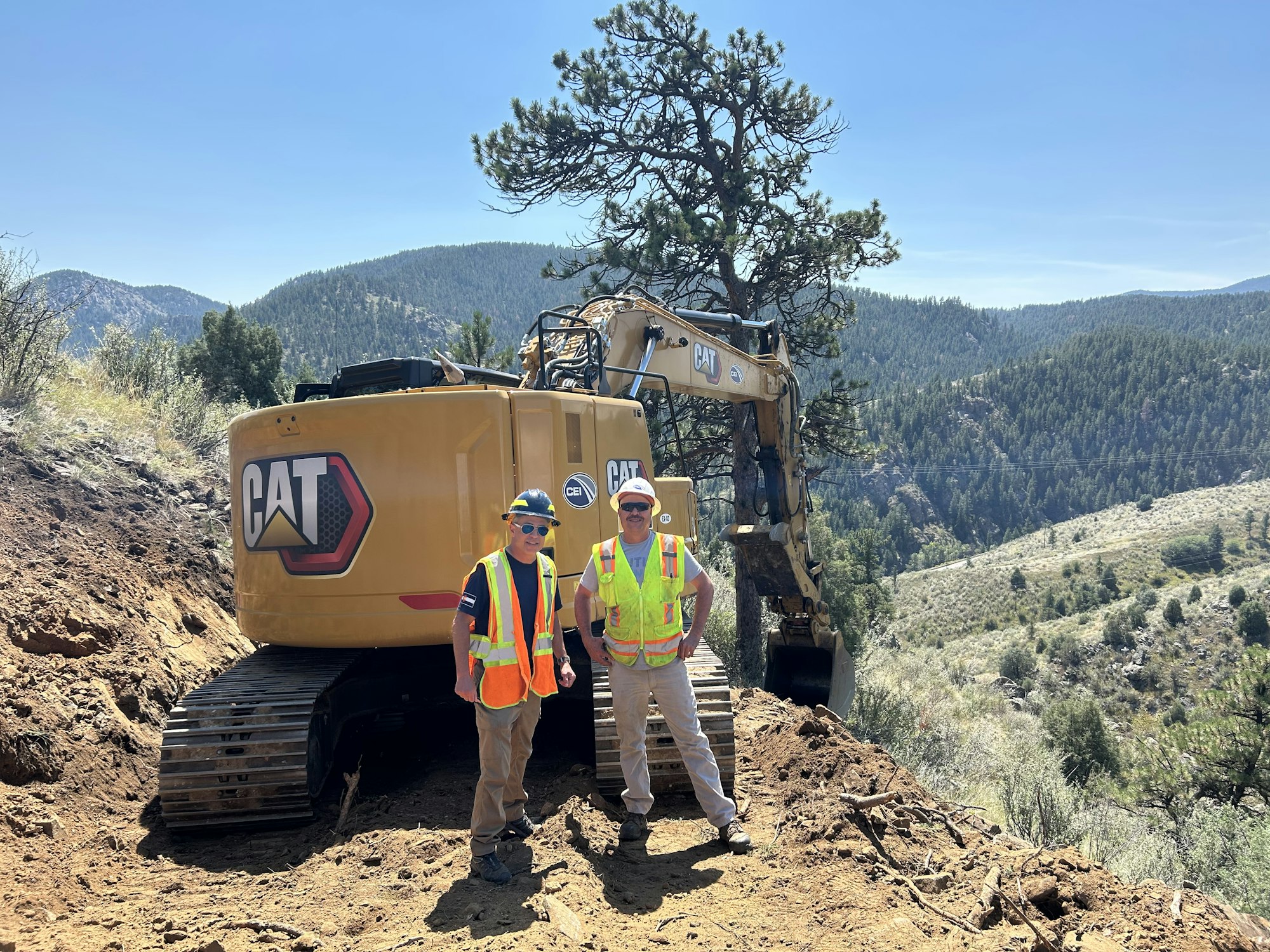
- Based on the recommendation of the committee, GFPD entered into an agreement with its top-ranked construction vendor and conducted a Pre-Construction Conference on August 11 with the vendor, addressing schedule, Quality Control/Assurance, additional Value Engineering options, safety, and community concerns, including impacts on traffic, dust, and noise. The vendor started mobilization activities on Tuesday, August 12.
- In addition, GFPD, together with underwriters and bond counsel, has issued and sold the bonds necessary to fund the project and has now completed the closing for the bond transactions as of July 31, 2025.
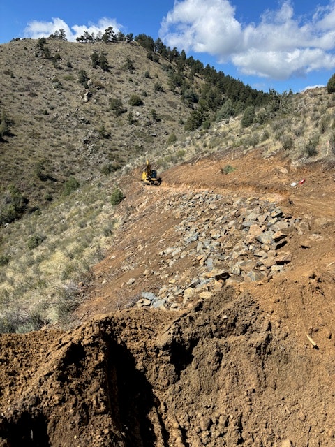
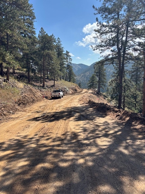
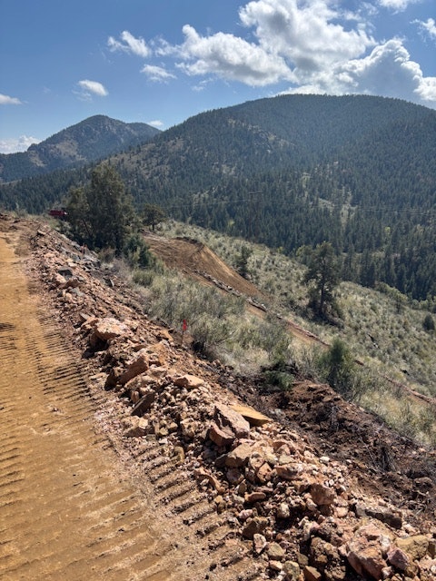
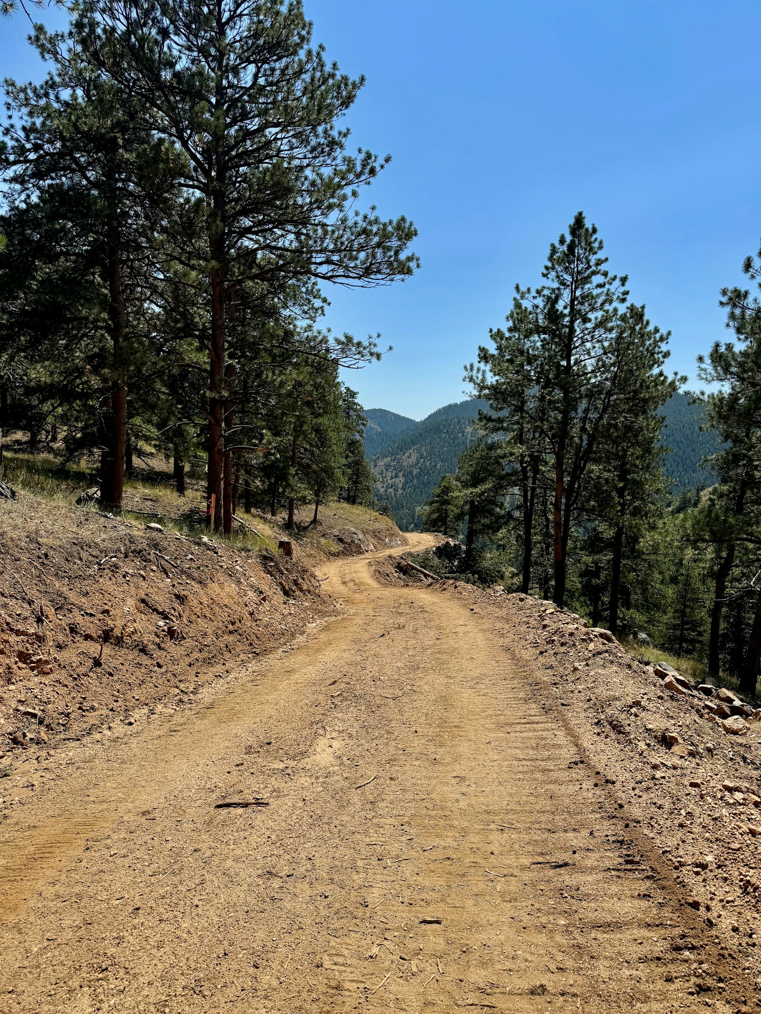
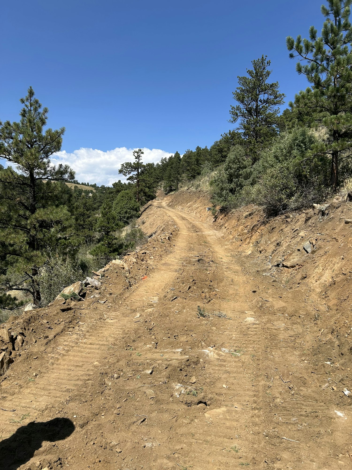
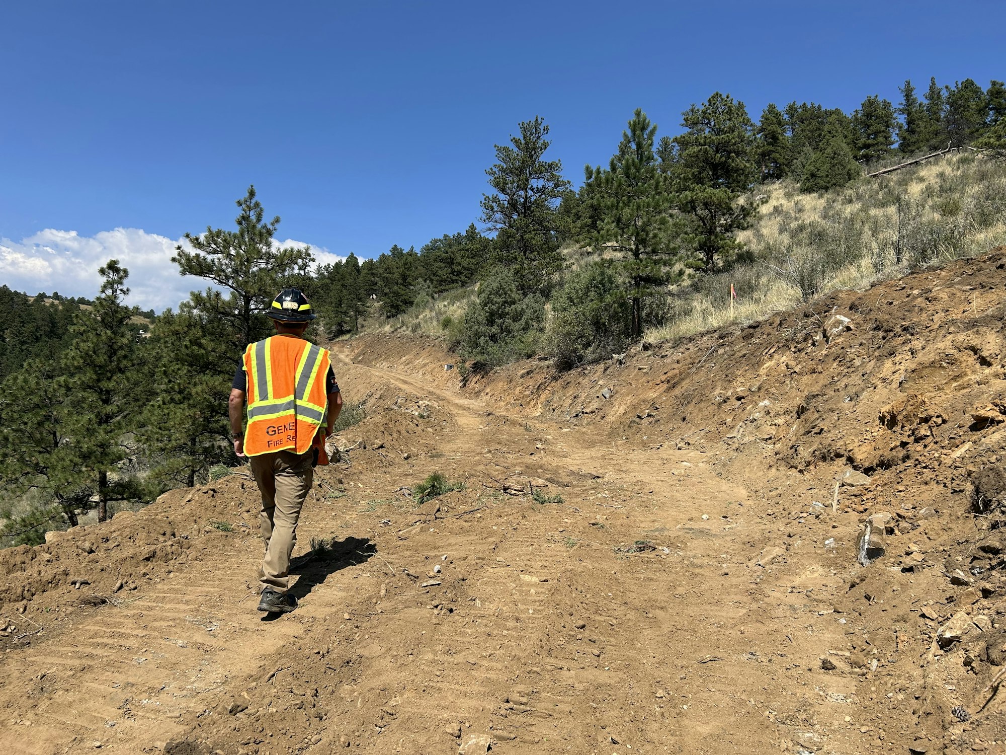
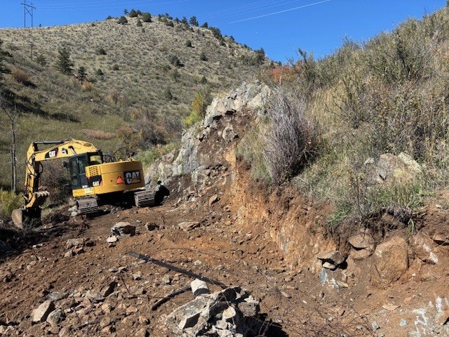
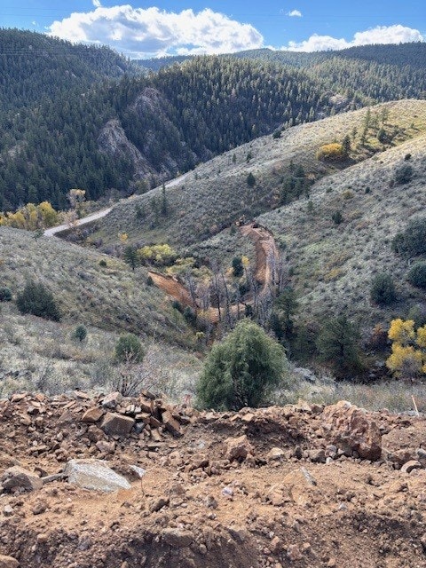
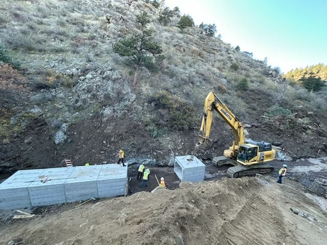
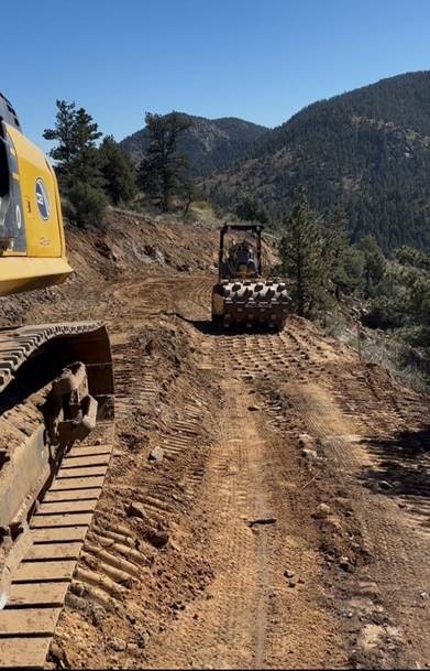
- Construction on the road started in August and the construction vendor has made significant progress already as shown below:


- GFPD received the required permitting from CDOT, which allows the vendor to work from the Highway 74 side concurrently with the work from the Bitterroot side.
- Recent work has concentrated on placing and backfilling the precast box culverts for the stream crossings, expansion of the initial bench (the “pioneer road” – rough grading and about ½ width of the final alignment to allow work on the steep, rocky slopes), and widening segments to final width and grade.
- Genesee Fire Protection District is in negotiations with Xcel Energy for cost sharing of construction of pads and use of the EAR needed for the replacement of Xcel’s 1950’s wooden transmission line poles (location noted on the drawing as Xcel poles #9794-25)
- EAR construction continues to be a daily activity, proceeding both from the north end near the Solitude tennis/pickleball courts and the south end from Highway 74. Trucks and equipment will be going through the neighborhood at times. Please be alert as you drive in and out of the neighborhood. Based on the current progress, GFPD expects to have the project substantially completed in December 2025, with final completion/clean-up/revegetation in May 2026.